

Drone Inspections Adelaide
-

ROOF INSPECTIONS.
High-resolution roof imagery for maintenance planning, condition reviews and hard-to-access areas. We plan coverage around the building, access restrictions and the questions your inspection team needs answered. Thermal capture can be included where suitable; the brief determines whether aerial capture needs to be combined with a closer inspection.
-

BUILDING & CRANE INSPECTIONS.
Detailed aerial photography and 3D models for reviewing buildings and crane structures. Airworks captures the imagery and prepares models your team can inspect, with thermal capture available where appropriate. We agree the coverage and handover before capture; engineering interpretation and certification remain with your appointed specialists.
-

SOLAR PANEL FARMS.
Visual and thermal capture for commercial solar assets, scoped with the asset owner or inspection team. Tell us the site size, access arrangements and what you need reviewed so we can plan suitable coverage and deliver imagery for your technical assessment.
-

INFRASTRUCTURE INSPECTIONS.
Detailed aerial imagery and project data for bridges, roads and other infrastructure. We plan capture around the asset, access constraints and required deliverables, with high-resolution photography, thermal capture or LiDAR considered to suit the brief. Your engineers and inspectors use the results to support their assessment.
-

WIND FARM INSPECTIONS.
Aerial imagery for reviewing visible blade and turbine conditions. Capture is coordinated with the operator around access, turbine status and weather, with the inspection scope agreed before the flight. The resulting imagery supports your maintenance team in deciding what needs closer investigation.
-
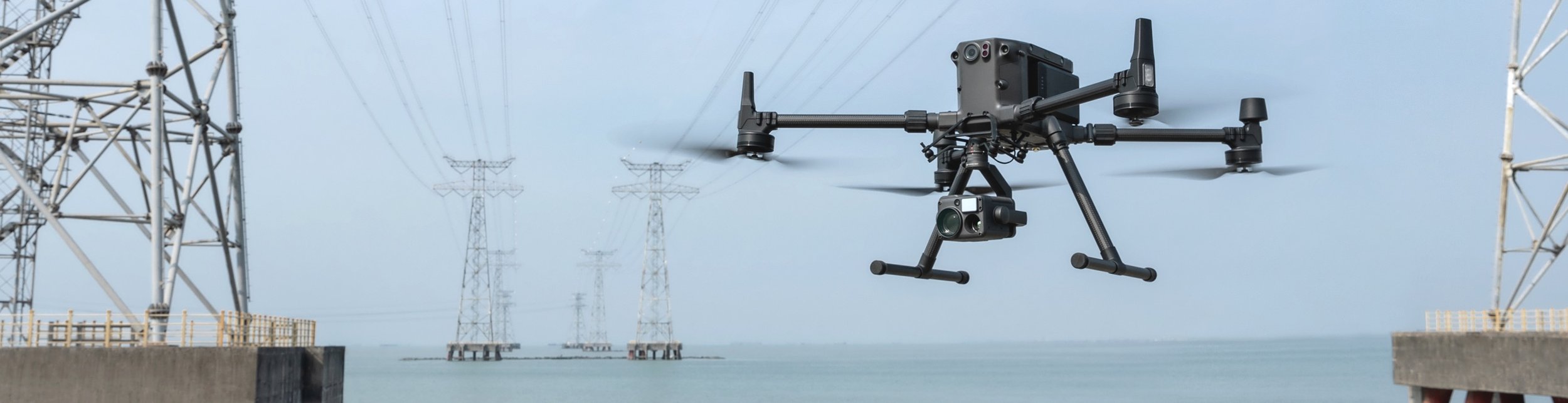
POWER LINE & TOWER INSPECTIONS.
Aerial imagery of power lines, towers and associated assets for review by the network owner or inspection team. We agree the target areas, access and operational restrictions before capture, helping your specialists review visible conditions and plan any follow-up work.
-

MARINE INSPECTIONS.
Aerial imagery of vessels, marine structures and difficult-to-access asset surfaces. We assess the location, access, weather and site restrictions with your team before planning the capture. Deliverables are scoped for review by your appointed inspectors and maintenance specialists.
-

STOCKPILE INSPECTIONS.
Aerial imagery and 3D capture for reviewing stockpiles and material-storage areas. Tell us whether you need a visual record, repeat monitoring or data for a volume workflow. We agree coverage, control requirements and output formats before capture rather than assuming one approach suits every site.
-

AGRICULTURE INSPECTIONS.
Aerial imagery for reviewing crops, farmland and rural assets. We plan coverage around the area, timing and purpose of the inspection. Discuss the decisions you need to make so we can assess the capture approach and agree useful deliverables before the job.
Commercial Drone Inspections Adelaide
Airworks captures detailed aerial imagery and 3D models for asset owners, engineers and inspection teams across Adelaide and South Australia. From buildings and cranes to infrastructure, we scope the capture around the areas you need to review. Send the asset location, inspection purpose, required deliverables and timing so we can assess access and plan the next step.